This auction is archived, you cannot bid or buy items from this auction!
Public auction 47 / Historical Documents, Maps / Historical maps
warning
info
Online auction 75 is currently running, you can find items like this there and bid on them!
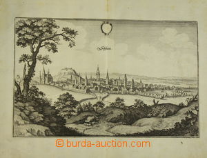
1387
+1
Starting price: CZK
U:X
+1
Starting price: CZK
U:X
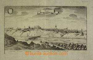
1389
Starting price: CZK
U:X
Starting price: CZK
U:X
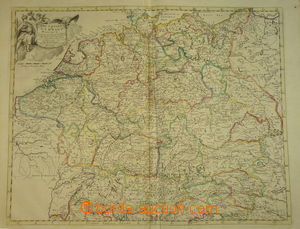
1391
Starting price: CZK
U:X
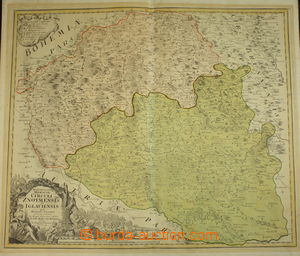
1392
Starting price: CZK
U:X
1393
Starting price: CZK
U:X
Starting price: CZK
U:X
Starting price: CZK
U:X
1396
Starting price: CZK
U:A0